In September of 2016 the Louisiana Public Archaeology Lab launched the Bayou Vermilion Archaeological Project (BVAP), a collaborative, multidisciplinary investigation of historic properties and cultural resources along the Bayou Vermilion, in partnership with the Lafayette Science Museum, the Bayou Vermilion District and the Acadiana Planning Commission.
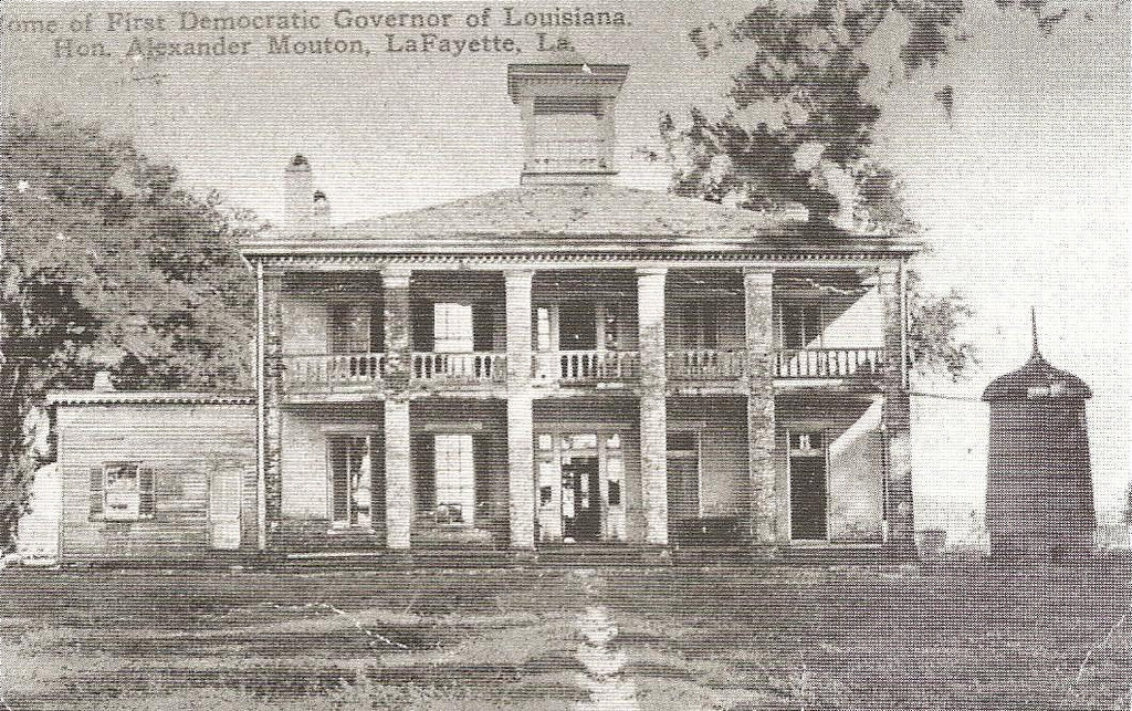
Alexandre Mouton house at Ile Copal (commons.wikimedia.org).
Ile Copal Survey
The Ile Copal Survey is the first investigation of the BVAP. This pilot study is being carried out in partnership with the Lafayette Parish School System (LPSS), as part of a cultural resource management class and the historic preservation graduate certificate program at UL Lafayette. In the Fall semester of 2016 UL Lafayette students will examine the archaeological, architectural and historical evidence for Ile Copal, the plantation of Governor Alexandre Mouton (b. 1804, d. 1885). In addition to providing UL Lafayette students with practical and applied experience in cultural resource management, the Ile Copal Survey will offer additional opportunities for community outreach, public education, applied learning and collaborative research.
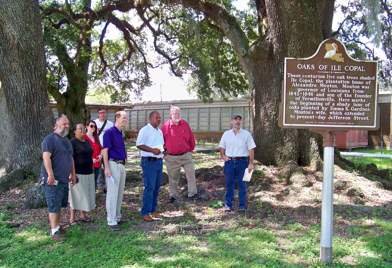
Meeting of the BVAP, Ile Copal Survey, at the LeRosen School (left to right: Kevin Krantz, Director of the Lafayette Science Museum, Deborah Clifton, Collections Curator with the Lafayette Science Museum, UL Lafayette students Brittney Istre and Christopher Beaubouef, Joe Craig, Chief Administrative Officer with LPSS, Steve Fruge, Adminstrator for LeRosen School, Ray Brassieur and Mark Rees).
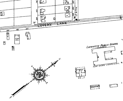
Detail from a Sanborn fire insurance map of 1928, showing the "fire ruins" of the Ile Copal plantation house (to the lower right of the arrow). "Lovers Lane" is in the location of present-day Pinhook Road.